Bax | |
|---|---|
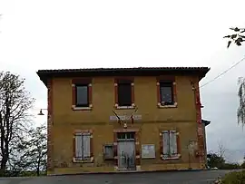 Town hall | |
.svg.png.webp) Coat of arms | |
Location of Bax | |
 Bax  Bax | |
| Coordinates: 43°13′38″N 1°17′21″E / 43.2272°N 1.2892°E | |
| Country | France |
| Region | Occitania |
| Department | Haute-Garonne |
| Arrondissement | Muret |
| Canton | Auterive |
| Intercommunality | Volvestre |
| Government | |
| • Mayor (2020–2026) | Jean-Marc Manfrin[1] |
| Area 1 | 5.99 km2 (2.31 sq mi) |
| Population | 96 |
| • Density | 16/km2 (42/sq mi) |
| Time zone | UTC+01:00 (CET) |
| • Summer (DST) | UTC+02:00 (CEST) |
| INSEE/Postal code | 31047 /31310 |
| Elevation | 243–371 m (797–1,217 ft) (avg. 250 m or 820 ft) |
| 1 French Land Register data, which excludes lakes, ponds, glaciers > 1 km2 (0.386 sq mi or 247 acres) and river estuaries. | |
Bax is a small rural village and commune in the Haute-Garonne department in southwestern France.
Geography
The commune is bordered by six other communes: Latrape to the north, Canens to the east, Lapeyrère to the southeast, Latour to the south, Montesquieu-Volvestre to the west, and finally by Mailholas to the northwest.
Population
| Year | Pop. | ±% p.a. |
|---|---|---|
| 1968 | 70 | — |
| 1975 | 80 | +1.93% |
| 1982 | 50 | −6.49% |
| 1990 | 65 | +3.33% |
| 1999 | 81 | +2.48% |
| 2009 | 81 | +0.00% |
| 2014 | 85 | +0.97% |
| 2020 | 93 | +1.51% |
| Source: INSEE[3] | ||
Its inhabitants are called Baxéens in French.
See also
References
- ↑ "Répertoire national des élus: les maires". data.gouv.fr, Plateforme ouverte des données publiques françaises (in French). 9 August 2021.
- ↑ "Populations légales 2021". The National Institute of Statistics and Economic Studies. 28 December 2023.
- ↑ Population en historique depuis 1968, INSEE
Wikimedia Commons has media related to Bax (Haute-Garonne).
This article is issued from Wikipedia. The text is licensed under Creative Commons - Attribution - Sharealike. Additional terms may apply for the media files.